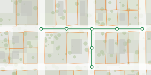
The whole platform: web and CAD. National data, project publishing and Sewer+ in one account.
- Cadastre, orthophoto, terrain, utility networks
- Browser map and CAD plug-in
- Publish a project, share a link
Slovenia · Czechia
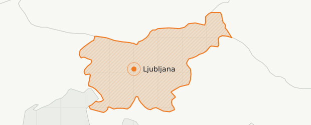
Cadastre, orthophoto and terrain for whole countries, served to the drawing you are working in and to a link anyone can open.
The whole platform: web and CAD. National data, project publishing and Sewer+ in one account.
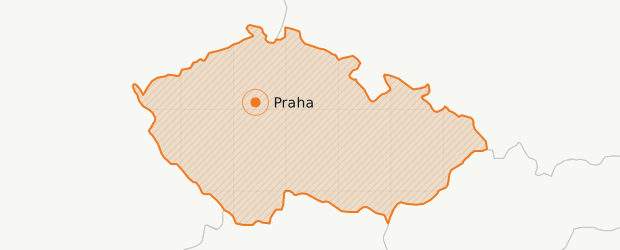
Cadastre, orthophoto and terrain for the whole country, with Sewer+ in Czech.
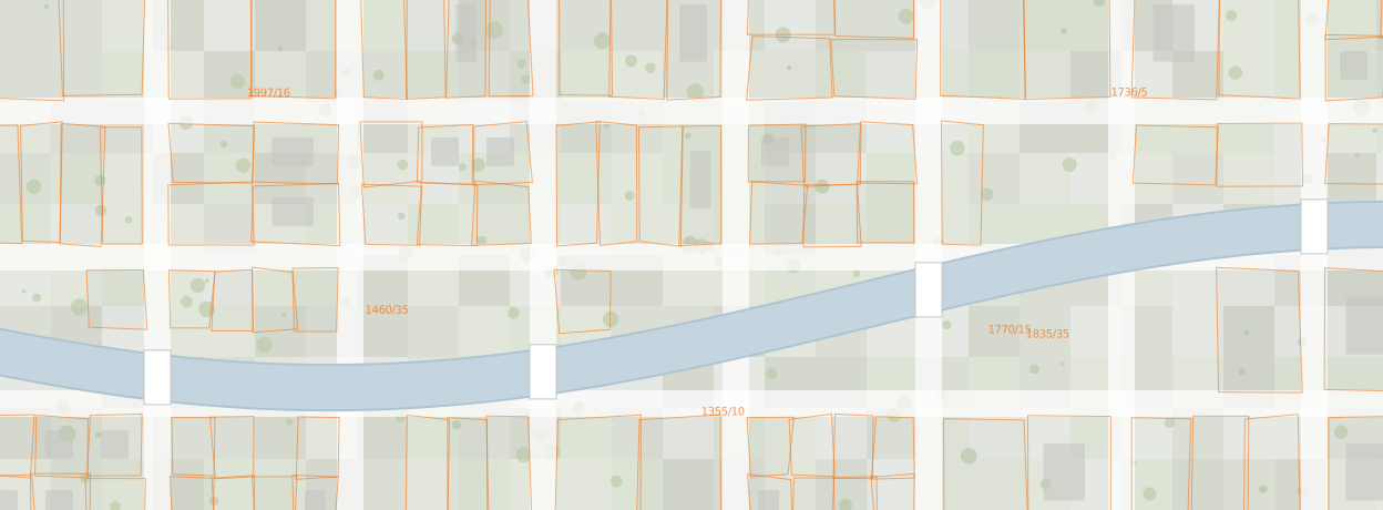
Prague · cadastre over orthophoto
The same layers load in the browser and in the drawing, so what you check on screen is what you design against.
Draw in CAD, publish a link. National data comes in underneath your drawing and the finished project goes out as a web link.
Open a link, see the project. No CAD, no install, no file versions to chase.
Your network on the national map, in the same frame as cadastre, orthophoto and terrain.